Showing posts with label database. Show all posts

Thursday, September 29, 2016

New poverty maps

For many years we had a simple poverty map based on 1995 data. However, today we are 20 years down the road, so we actually hope that poverty patterns have changed.

I recently discovered that Havestchoice made a new set of poverty maps (including density, gap, severity), at 1.25 usd and 2 usd poverty line for the year 2005.
Still quite old and not up to date to the new poverty lines of 1.9 usd and 3 usd per day... however it is a huge progress compared to the old data we did not dare to show anymore.

Find the data here

Monday, October 5, 2015

Land matrix : a database for land deals

During my post-doc in Ethiopia, more and more land was given to global investors for the best or for the worst. My blog has tried to collect stories from around the world on good and bad deals in terms of land ownership. Research on land deals was not possible because of the lack of data.

Recently i came across the land matrix, a crowd-sourcing platform that tries to address the data gap by asking people to contribute to a database with the knowledge they have. A quite cool initiative and a first database on land deals!


Check it out yourself and add your knowledge to the database!

Thursday, July 2, 2015

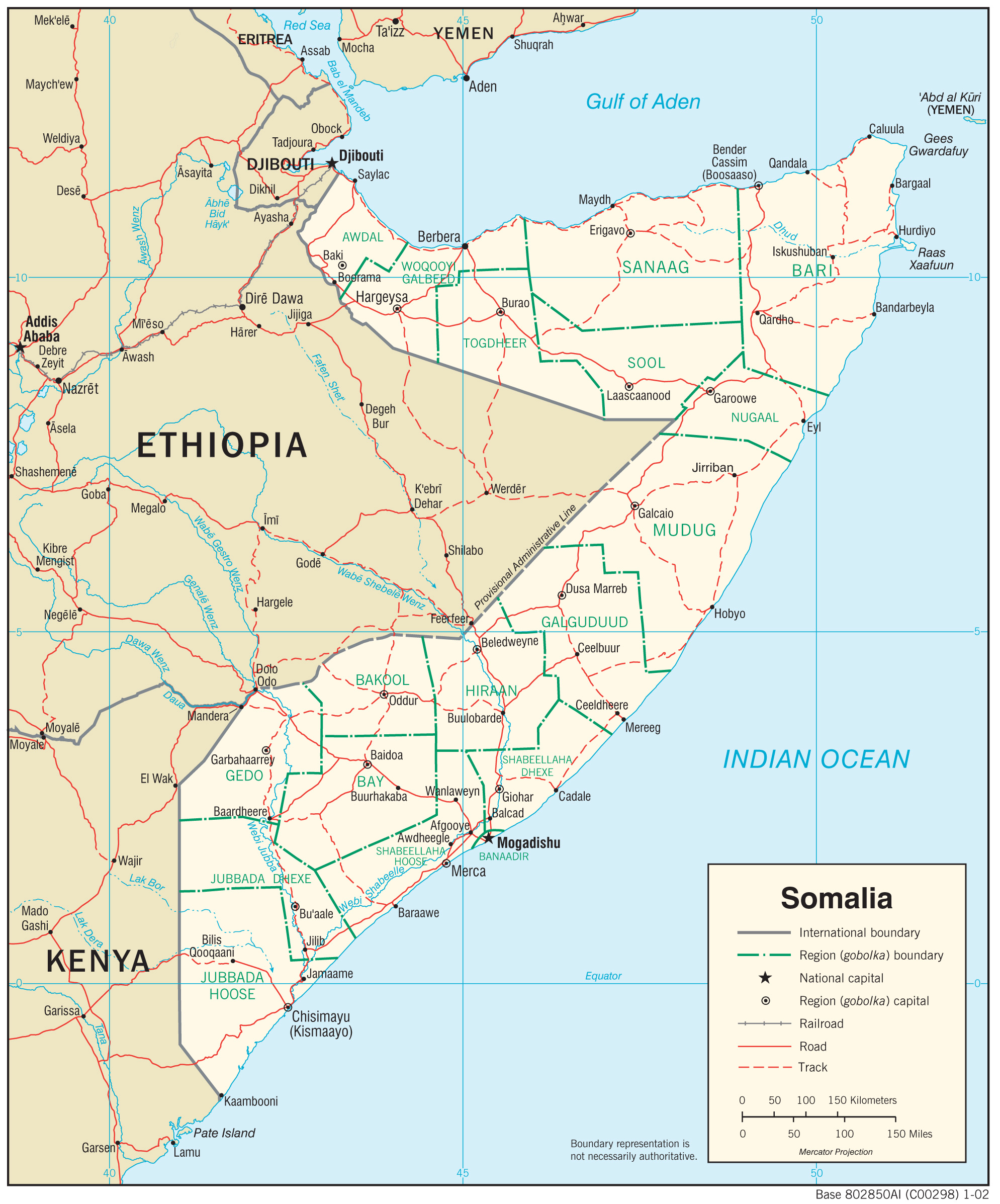
Failed state, no data? the example of Somalia

I have recently been asked to contribute to a project proposal on Somalia. First though was, my God, working in a failed state, not only it is dangerous but also there will be no local scientific capacities and no data.


What initially sounded like a nightmare, became two weeks later a very fascinating task. Firstly, Somalia is not dangerous everywhere, so work will focus on the safe area. Secondly, there have been training programs to enhance scientific capacities locally through previous collaborations, so we will have people with scientific capabilities on the ground. But most amazingly, there is plenty of data that is available through the land and water information management  by FAO.

SWALIM the FAO platform gives you access to map that i wished i had for many other projects in other countries. It is not just land cover or rainfall, there is also soil degradation or a land use map that is in the end a pretty good livelihood map. It remains that some of information is available only as a image not as geo-data, probably because it can be sensitive information. Some geo-data can be found on the geonetwork.


I am fascinated by the amount of data that is actually available for a failed state, and get more and more exited to develop a research for development project for a country which exports 5 millions of livestock a year, which accounts for 40 % of GDP. A story to follow!