Showing posts with label Somalia. Show all posts

Friday, October 13, 2017

Helping Somaliland is not just about food aid!

I am packing and about to leave to Somaliland, this time not as usual to Hargeisa, but on my way to Sheikh Veterinary school (ISTVS) where I will be teaching an introductory training to geographical information systems (GIS).


We have all recently seen the images from hungry pastoralists in the news, NGO fundraising and facebook campaigns. It is great that people support immediate food help to people who need it most, but it remains just a short term intervention that does not really allow this young country to develop.

This movie shows how the European Union has invested in the veterinary school i am going to in order to build up local skills and competences for the livestock sector, that represents at least 60% of Somalilands' GDP. Now you are probably wondering what GIS has to do with livestock? Many livestock diseases are depending on the biophysical context. Even in small countries like Somaliland not the same interventions are needed in all parts. Also livestock is moving, starting to plan land use, optimize the route and the veterinary post will become more and more important, but no one has the basic skills to do some simple geographical planning.
So we have been asked to give an introductory training next week. So remain posted, more about Somaliland will come soon.

Friday, October 21, 2016

Identifying dynamics of natural resources in Somaliland through participatory mapping

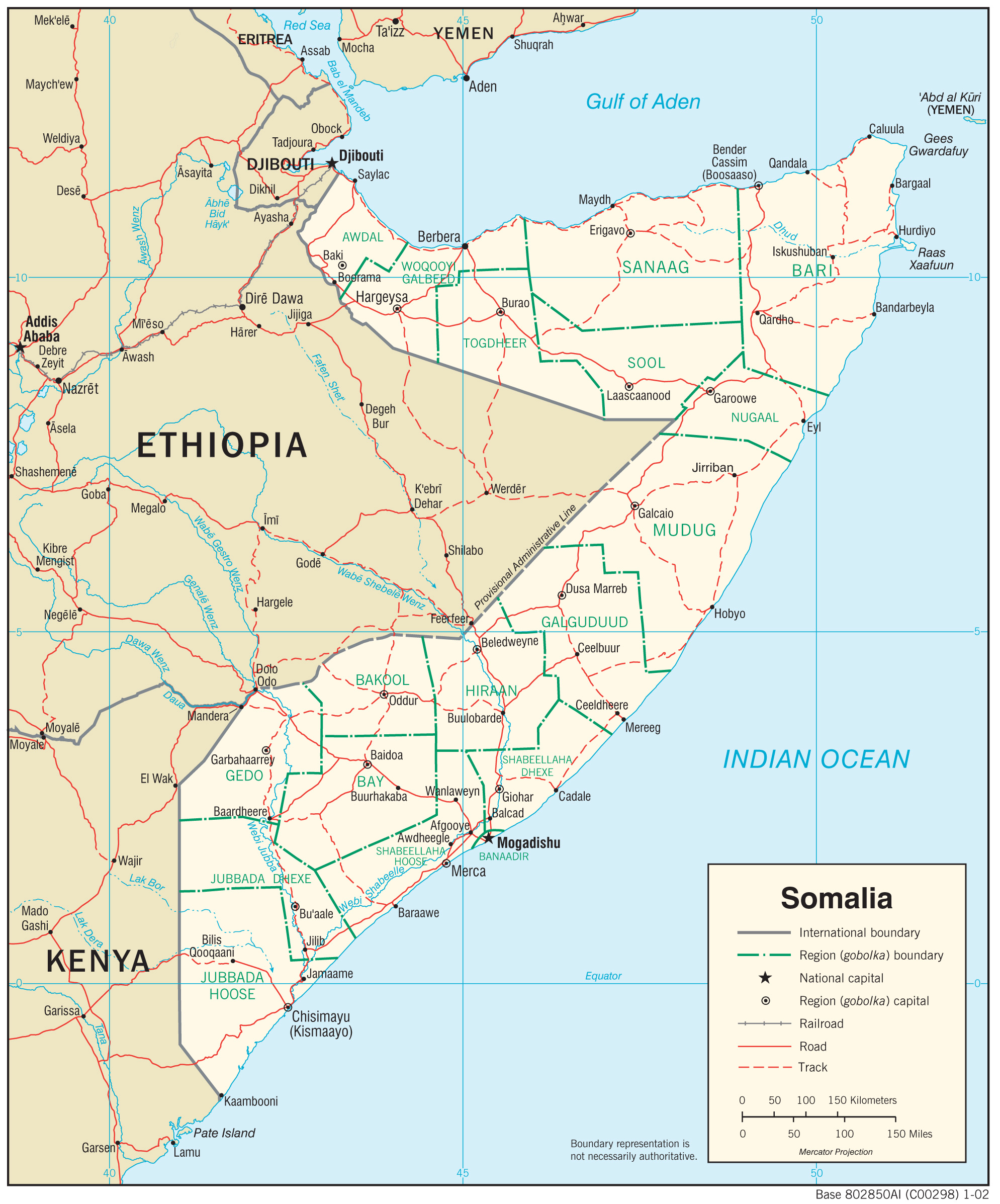
If i tell you Somaliland, what is your first thought? War? terrorists? Al-Shebab? But in reality Somaliland is all but this. It is a place, which GDP depends for more than 80% on livestock production, exiting for a livestock scientist. It is a young democracy of an country that has not been recognized by the international community, yet has its own currency, own visa procedure and own government. Much of the international aid focuses on emergency relief and food aid. Little money flows for development, but some does, for example with FAO-SWALIM, who create a lot of good maps.

Hargeisa livestock market
Also Terra Nuova is one of the NGOs that does development work, and works mainly in the livestock sector. ILRI was contracted by Terra Nuova to implement the research component of one of their livestock project. Next to collecting analyzing data and create documentation for a country that has lost it all in a war, we also build capacity of ISTVS the vet school in Sheik


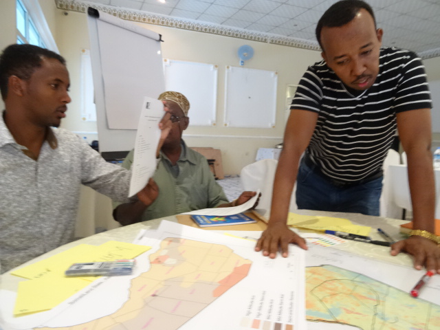
This week, i have hosted a participatory mapping workshop with decision maker to discuss the current state of natural resource that are needed to support the livestock sector. Participatory mapping asks participants to map, i.e. tell us where a given natural resource is and tell us more about that resource, for example the current state of the resource, who the user is, if there are conflicts and if people somehow are changing behavior. 


This allows to identify dynamics that define changes of natural resource, so that we can predict changes that might occur in future and support policy maker to take actions now that could address future issues.  


In a first step we have asked participants to rank the resource needed for the livestock sector. All three groups came up with the following order : 1. land, 2.water, 3. livestock feed. Number four was different from the groups, some would say livestock, other soil.

Want to know more about what we learned from the workshop? We are still processing the reports! So keep posted! 

Thursday, July 2, 2015

Failed state, no data? the example of Somalia

I have recently been asked to contribute to a project proposal on Somalia. First though was, my God, working in a failed state, not only it is dangerous but also there will be no local scientific capacities and no data.


What initially sounded like a nightmare, became two weeks later a very fascinating task. Firstly, Somalia is not dangerous everywhere, so work will focus on the safe area. Secondly, there have been training programs to enhance scientific capacities locally through previous collaborations, so we will have people with scientific capabilities on the ground. But most amazingly, there is plenty of data that is available through the land and water information management  by FAO.

SWALIM the FAO platform gives you access to map that i wished i had for many other projects in other countries. It is not just land cover or rainfall, there is also soil degradation or a land use map that is in the end a pretty good livelihood map. It remains that some of information is available only as a image not as geo-data, probably because it can be sensitive information. Some geo-data can be found on the geonetwork.


I am fascinated by the amount of data that is actually available for a failed state, and get more and more exited to develop a research for development project for a country which exports 5 millions of livestock a year, which accounts for 40 % of GDP. A story to follow!