Monday, September 3, 2018

FOSS4G : Leave no one behind

It is under the moto "to leave no one behind" that the free and open source software for geographical information (FOSS4G) community met in Dar Es Salaam last week. 


For me and many of my colleagues from the CGIAR it was our first time to join this community as we tagged onto this conference for our annual meeting of the GIS specialist also known as the CSI, no not crime scene investigation but consortium for spatial information! Many of us have actually started migrating to open source software for GIS some years ago, and we were quite exited to learn more about this community.

the stairs
For the FOSS4G crowd it was their first conference held on the African continent, and for many oversees participants a very first introduction to the developing world. A great effort was made to make the conference accessible to the local community in Tanzania and East African Region, with stipends and engaging the huge local tech community. Despite of that, the average participant was male and white, and no one could really apprehend that I am a white woman yet working and living in Nairobi.
Yet conference show cased many great East African tech initiatives and companies, from the humanitarian open street maps, to WeRobotics flying labs, showing that Africa does not lag behind when it comes to tech application with open source that solve local problems. 

Minister January Makamba
The conference was opened by January Makamba, minister in the government of the United Republic of Tanzania responsible for the environment and the Union. He had a great speech, which major message was “If geospatial tools and data do not serve humanity; then they are simply toys”. He made a great start putting African technology and development at the center of his speech. I even managed to shake his hand, pitch him my tool (and not my toy!) that helps local communities to make better livestock plans and raise his attention to ILRI work in Tanzania. It was a great moment.

Dar view from the ferry from Zanzibar

During the conference i attended many presentations from the non-academic world, from the geeks who develop the codes behind Qgis, to advanced web management for GIS or humanitarian open street maps. It was a big eye opener even if sometimes i felt like an alien in the world of hard core coders. 

In the up-coming weeks i will share some more insights from this conference so stay posted! 


Thursday, March 22, 2018

Who is getting more milk and eggs in East Africa?

In the Western world, there is a strong trend towards veganism. In that debate, people often forget that small amount of animal sourced food such as milk, eggs or meat, can be the difference between a healthy and productive lives for children in poor families in the developing world.

This is why we are trying to understand what the links between the livestock sector and child nutrition are and try to quantify how much livestock ownership does contribute to improved child nutrition.
Preliminary result shows that owning a cattle or goat increases the chance by 8% for a child in a poor household and owning chicken increases the chance of egg consumption by 2%.


This is on-going research, and therefore some strange results are presented here and where discussed during this internal presentation. So keep posted about the up-coming improvements. 

Thursday, February 22, 2018

Never trust data blindly!

This week i am at the LD4D meeting in Naivasha. LD4D is a community of practice about creating evidence to enhance data driven decision making in the livestock sector.

I gave a presentation on the comparison of available free data that can give insight in livestock population and why they might be contradictive. Never trust data blindly.


And there was even a twitter about my presentation !


Neat insights from Catherine Pfeifer @ILRI on the challenges of interpreting #livestock demographic #data . Never take it at face value! pic.twitter.com/dr11QZyXmp
— Livestock Data for Decisions (@LD4D_community) February 20, 2018


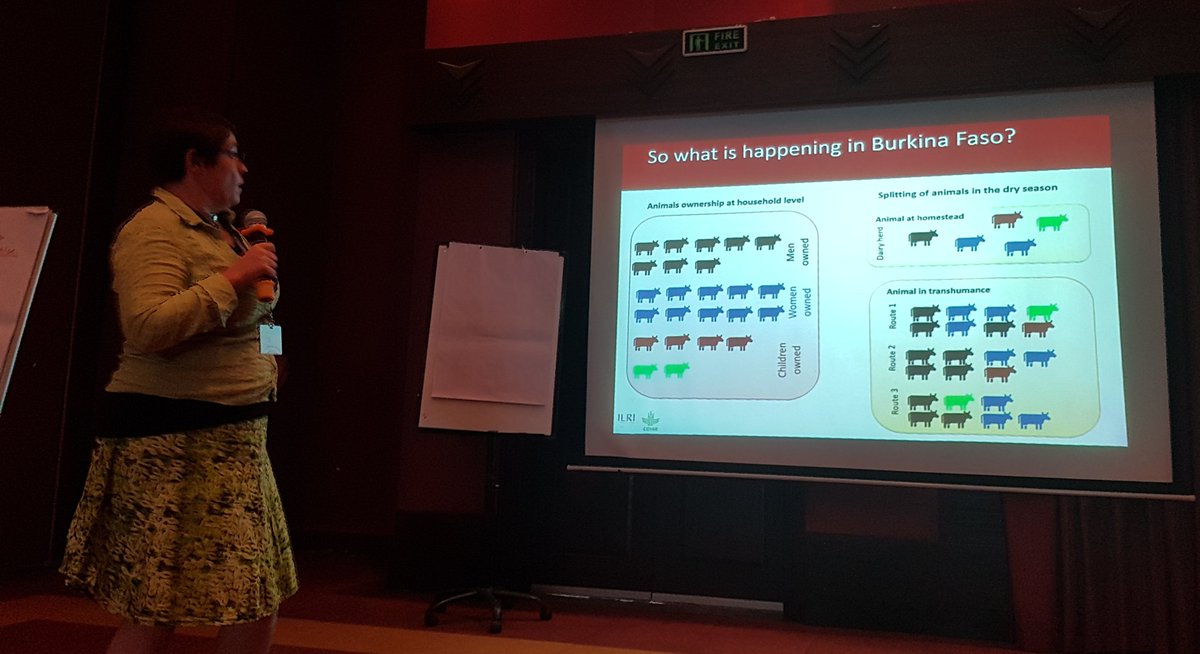
Explaining the sub-herd concept which i explained in this post 

Remain posted to learn more about LD4D!

Friday, February 16, 2018

When GIS technology and satelite images transform how local governments take decisions

Today, I had a discussion about a contract with LocateIT a small but very innovative GIS and IT company in Kenya, who does is helping me with the online version of CLEANED, the ex-ante environmental simulation tool for intensifying livestock value chains.

But beyond the cloud computing and advanced R coding they are doing for me, I discovered that LocateIT is about to bring the digital revolution to rural Kenya. In close collaboration with the governor in Vihiga county, in Western Kenya, they are setting up an information system based on satellite images in collaboration with ESRI and Airbus, that can provide precise advice.


This initiative is novel from a GIS/technology perspective but also reflects the will of local Kenyan government to make better informed decision especially in the fields of agriculture.

Wanna know more? don't miss the article in the daily nation here. And be ready to hear more from this initiative!